1 December, 2021
Heavy rainfall wreaks havoc across Darling Downs
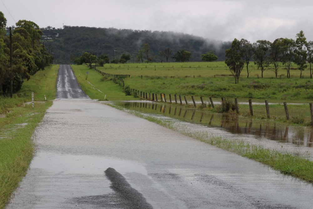
Sustained rainfall has swept the region, with over 100mm falling over many parts of the local area yesterday alone causing flooding and road closures.
A weather station at Felton listed on Weather Underground recorded a staggering 160.3mm of rain yesterday, 30 November.
Weather stations around the district recorded 128.3mm at Greenmount yesterday, 98.81mm at Wyreema, 71.12 at Westbrook, 88.11mm at Hodgson Vale and 97.48mm at Nobby.
As of 9am today, Hodgson Creek at Felton is at a height of 2.58m, above the major flood level of 2.5m. It peaked at 2.7m at midnight and is currently falling.
As of 10:45am, Hodgson Creek at Cambooya is steady at 1.25m, down from a height of 2.04 at 9:55pm yesterday.
ROAD CLOSURES
For the latest information on flooded roads and a complete list, visit qldtraffic.qld.gov.au/ or call
13 19 40.
Greenmount Etonvale Road - near Greenmount. Road closed to all traffic, all directions. Use alternative route.
Watts Siding Road - over Emu Creek near Binnie Street, Greenmount. Road closed to all traffic, both directions. Use alternative route.
Karara Road - Hodgson Creek Bridge, Cambooya. Road closed to all traffic, all directions. Long delays expected. Do not drive in flood waters.
On many highways and roads around the area, many potholes have formed. Drivers should proceed with caution.
DISASTER DASHBOARD
Toowoomba Regional Council runs an online Disaster Dashboard that collates important information from a variety of sources such as the Queensland Government and Ergon Energy.
It includes road closures, emergency contacts, power outages, river heights, fire danger ratings and school closures.
To access the dashboard, visit disaster.tr.qld.gov.au