Agricultural
4 May, 2021
Flying farming into the future
Many farmers in the region have started incorporating drones into their work to reduce the time it takes to look over their crops and fields.
Experts believe that this gives them an advantage over farmers relying on more traditional methods.
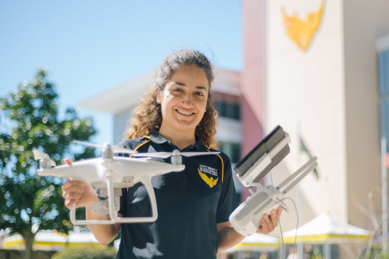
Dr Zahra Gharineiat, a senior lecturer in surveying and researcher at the University of Southern Queensland, said drone mapping could help farmers make informed decisions about crop management.
“Using drones or unmanned aerial vehicles (UAV) to map fields helps remove the guesswork when it comes to assessing crop health, monitoring crop growth rates and even spotting disease or other crop issues,” Dr Gharineiat said.
“They provide timely and accurate data collection, which can help farmers better address and respond to crop stress, manage labour costs, significantly increase yield and document crop losses for insurance purposes.”
The University of Southern Queensland, in partnership with Land Solution Australia, is helping farmers learn how to use drones to map and monitor their crops more effectively using aerial images and data analytics.
While the cost and time-saving benefits of using drones to monitor and manage crops are becoming widely known, Dr Gharineiat said the biggest hurdle for farmers was knowing how to process and analyse the data.
“Most of the farmers I have spoken to say they are keen to use the technology, but lack the knowledge and technical skills to process the images taken by the drone and convert them into maps,” she said.
Dozens of Queensland farmers will take part in a free workshop at the Queensland College of Wine in Stanthorpe to learn how to safely operate a drone and use the data processing platform.
“Our key focus is to fill the knowledge gap so farmers can begin to tap into the full potential of drones and harness the opportunities they offer,” Dr Gharineiat said.
“We will be teaching them how high they need to fly to get accurate results, what sort of accuracy they can expect, how much overlap is needed between the images, what types of sensors they can use and how they can use
the data in different applications for different purposes.”
For more information about the free workshop, or to register, visit the website at www.usq.edu.au/events/2021/04/diy-drone-mapping